Protecting the coastline and farmland are two of the key aims in a coastal and marine management plan adopted by Wyndham council.
The council endorsed the plan – which concerns the management of marine areas across Werribee South and Point Cook within the next five years – at a meeting last month.
A council report said that it would cost around $14 million to implement the plan, with funding likely to come from sources including council budgets; grants; and the state and federal governments.
The plan, which was developed with community consultation, said that the council intends to complete pedestrian and cycling links within the Wyndham Bay Trail.
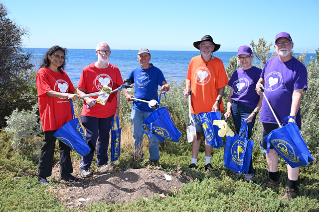
The council also wants to protect the coastline through re-vegetation, erosion prevention, cleaning and other conservation works.
Another section of the plan said that some respondents to the council’s community consultation process had “indicated that many of the locations on the Wyndham Coast were isolated and felt unsafe, especially Campbell’s Cove and the Point Cook Homestead site.”
The plan said public safety could be boosted in coastal parks and reserves, by installing measures which would see more people using these areas.
The plan said possible improvements to be considered for Campbell’s Cove and Bailey’s Beach included sealed paths or boardwalks, accessible public toilets, disabled parking and picnic facilities.
As well, the plan said some farmers in Werribee South had expressed concerns about agricultural areas being able to co-exist alongside increased public access to Wyndham’s coastline.
A concern raised by farmers was that the Werribee South road network is “incapable of safely accommodating cyclists”.
Farmers also said that bringing extra visitors into the region could lead to farm machinery break-ins and more produce being stolen from farms.
But the plan said a key connection along the Wyndham Bay Trail, from Werribee to Werribee South, had been designed to avoid “high-speed” roads which are often used by tractors and trucks.
In addition, the plan said the trail’s path would “ideally” remain 10 metres away from the planted edge of farms. The plan said if this was not possible, physical barriers could be installed instead.
The plan will be forwarded to the Department of Environment, Land, Water and Planning for state government approval.

