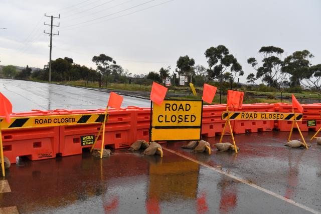
Wyndham residents are being urged to share the knowledge of areas of the municipality that are prone to flooding.
The information will be used by council and Melbourne Water to update local flood maps.
Council said the maps will reflect historical flooding incidents.
Mayor Jennie Barrera said the project would provide up-to-date information on the extent of flooding across Wyndham.
“The project is in its early data gathering stage, which is expected to be completed in late 2025,“ she said.
“Our residents have an important role in helping to shape the maps, by sharing local knowledge about areas that flood, and the extent of the flooding they’ve experienced over the years.
“This is our first stage of engagement, and the information will help us with planning development into the future, particularly as climate change continues to impact our environment.”
Feedback can be provided until August 30 via: theloop.wyndham.vic.gov.au/wyndham-flood-mapping